ORBIS WEATHER Weather data, straight from the source.
Global Storms
Loading active storms worldwide…
Wildfire News
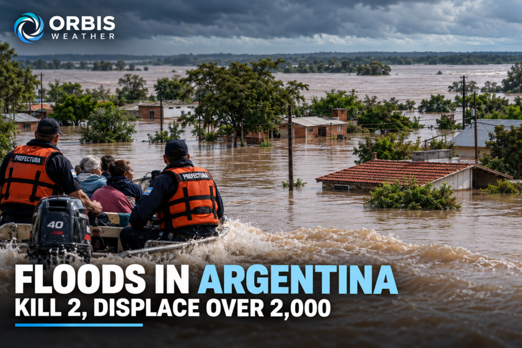
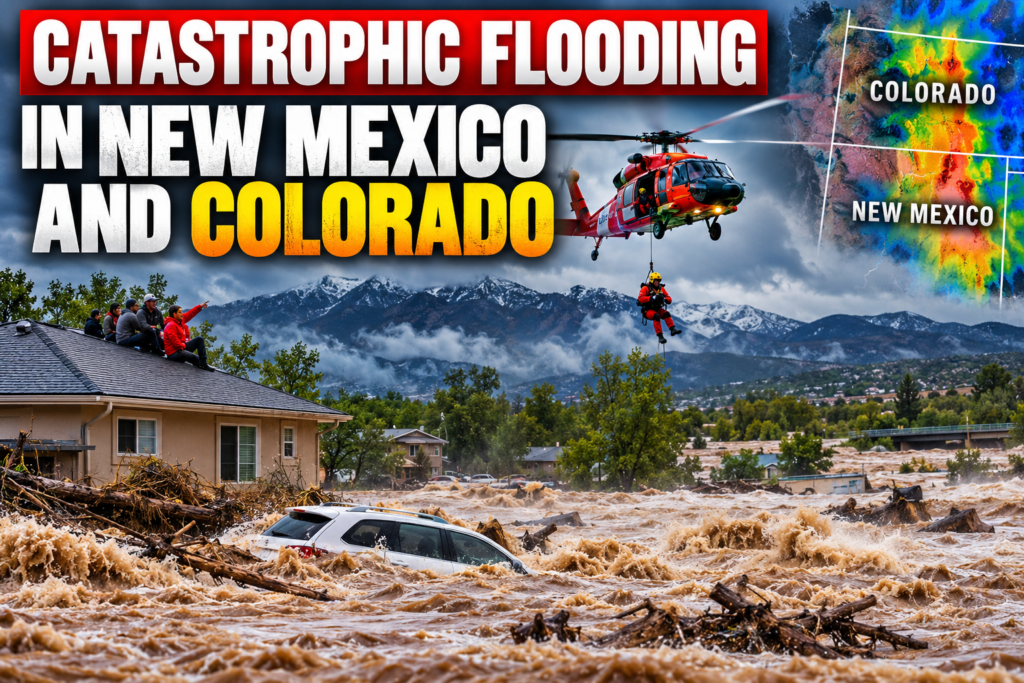
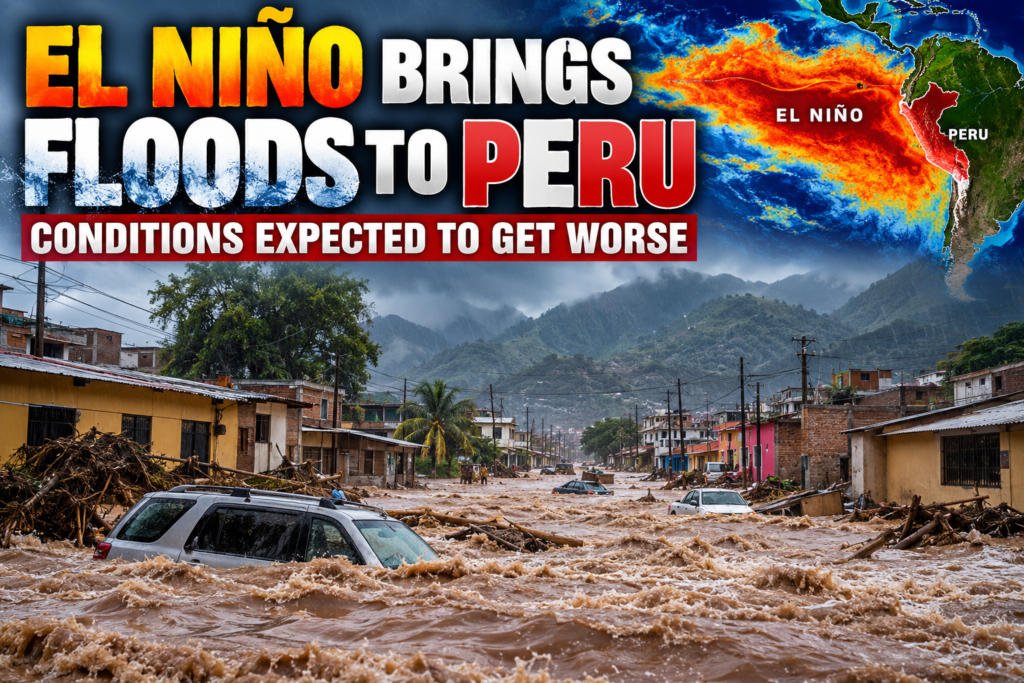
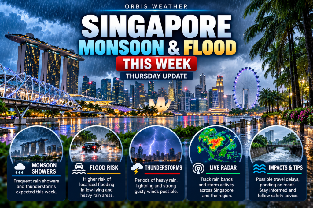
Flooding News
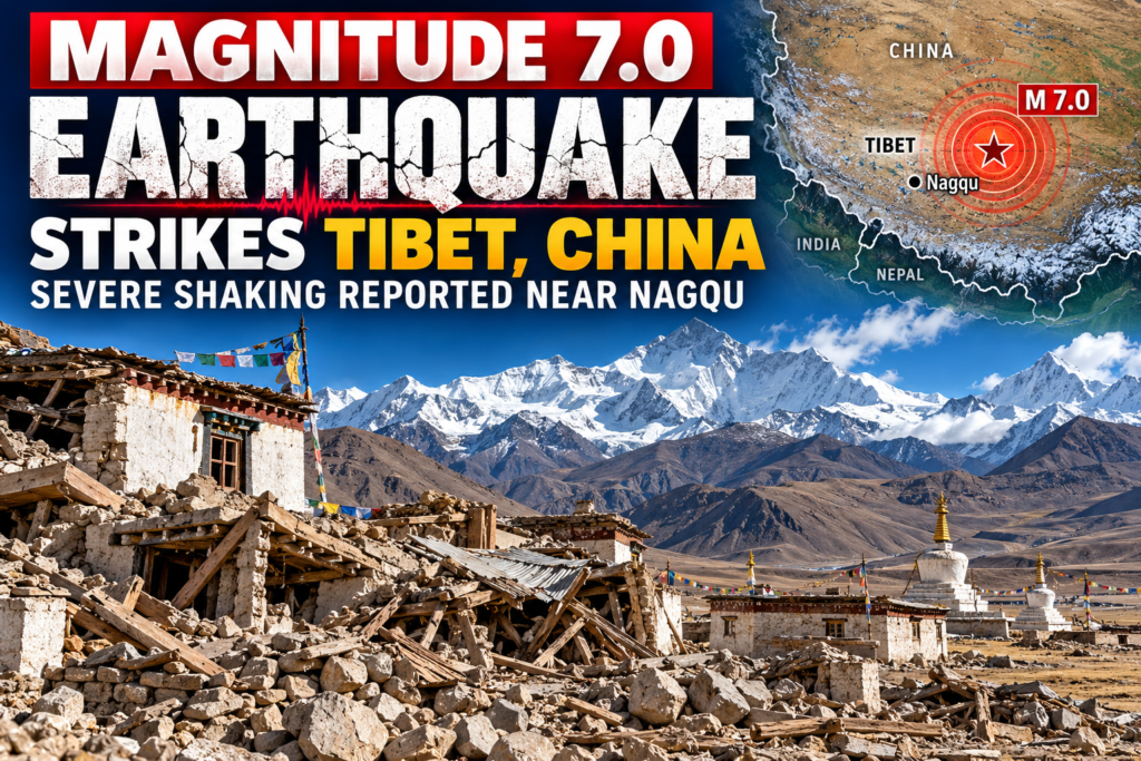
Earthquake News
Volcanic Activity
Avalanche News
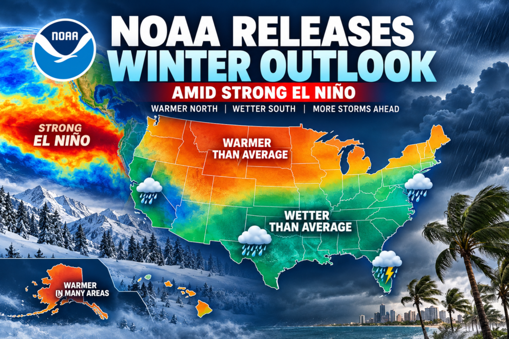
Super El Niño: How It Could Transform Winter Across the United States
Click Image
Super El Niño: How It Could Transform Winter Across the United States
el nino hero
Click Image
El Niño One warm current, dozens of different forecasts
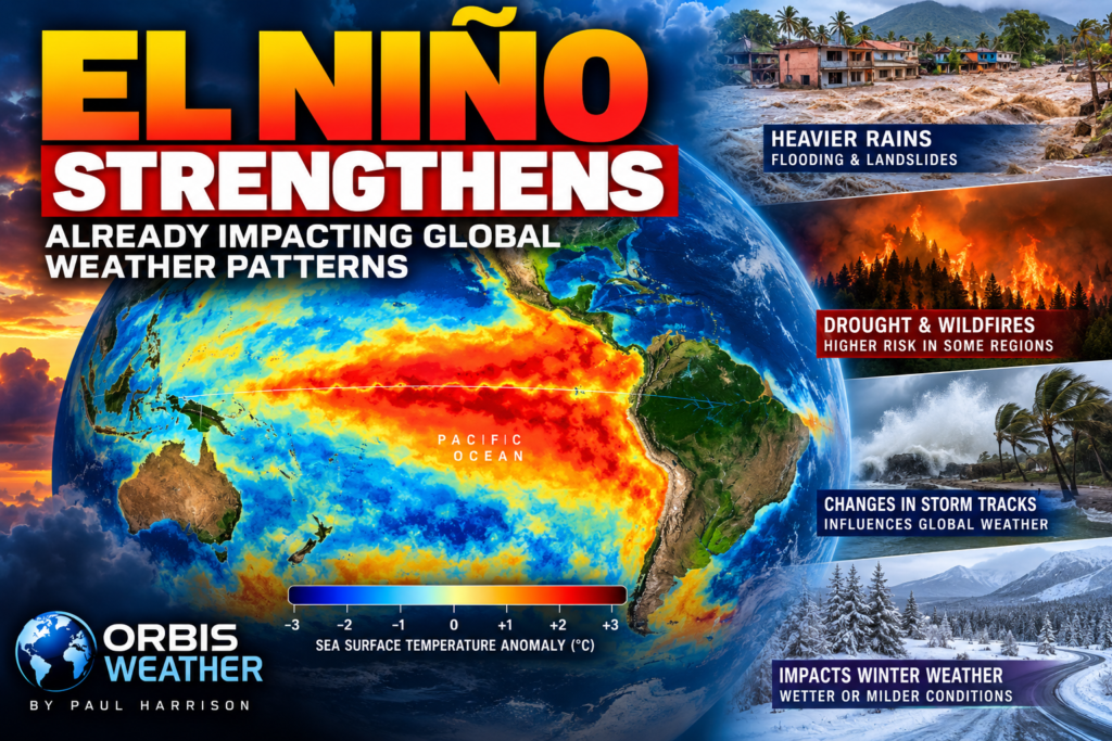
super el niño
Click Image
Is history about to repeat itself? And this time, could it be far worse?
news
Click Image
Polar Vortex Is Coming? Early Winter Signals Raise Questions About a Colder 2026–27
lightning map
Click Image
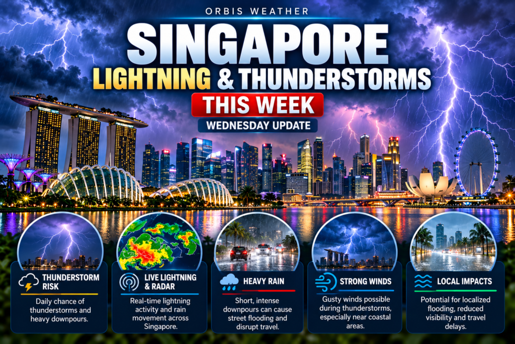
Live Lightning Map
live u.s. wildfire tracker
Click Image
Live U.S. Wildfire Tracker
smoke
Click Image
Live Wildfire Smoke & Air Quality Tracker
earthquake map
Click Image
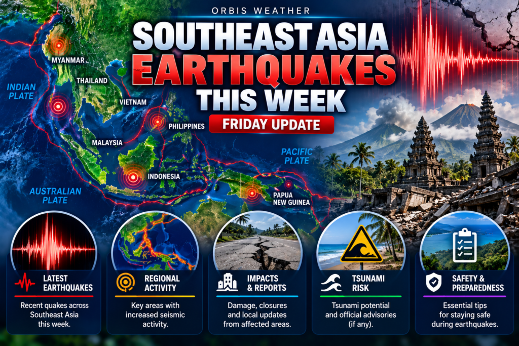
Live Earthquake Map
news 2
Click Image
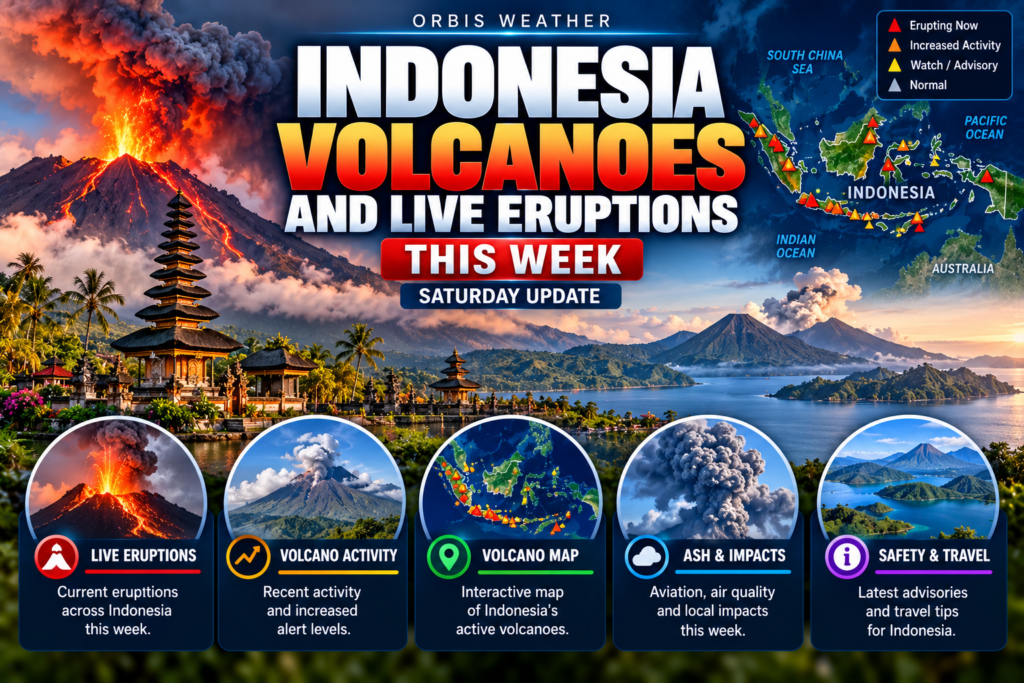
Live Volcano Eruption Tracker
Weather data, straight from the source — nothing dressed up in between. Live Hurricane Tracker & Global Tropical Weather Intelligence

Orbis Weather provides live hurricane tracking, tropical storm updates, NOAA outlooks, global wind maps, and severe weather information for the Atlantic, Gulf of Mexico, Pacific and worldwide tropical regions.

ORBIS·WEATHER

Weather data, straight from the source — nothing dressed up in between.

Orbis Weather brings together live tropical, winter and severe weather information from official government agencies and trusted public networks into one place, without slowing it down, gatekeeping it, or presenting it as more certain than it is.

WHAT WE DO

Orbis Weather is a set of live weather tools, not a forecasting service of our own. Every map, chart and alert feed on this site pulls directly from the same official sources meteorologists use — we just make them faster to check.

Atlantic, Gulf & Pacific BasinsRain, wind, temperature and satellite in one view, plus the official NHC active-storms widget.
Sea TemperaturesLive NOAA buoy and tide-station readings along every U.S. coastline we cover.
Surf MapsWind, wave and swell forecasts alongside real-time buoy wave-height reports.
Live U.S. HazardsNationwide tornado, winter weather and lightning trackers, refreshed continuously.
Global Tropical TrackerWorldwide cyclone and disturbance activity, with links to every basin’s official forecast agency.
Historical Cyclone TracksDecades of Atlantic and Pacific storm tracks, searchable by category.

HOW WE HANDLE DATA

A few rules we hold ourselves to on every tool we build:

Official sources first. Live feeds come from agencies like NOAA, the National Hurricane Center, the Storm Prediction Center and the National Weather Service — or, where no government source exists, established public networks like Windy and Blitzortung.

We say when something is a model, not an observation. Forecast graphics are labeled as such, separate from confirmed official data, so it’s clear which is which.

We disclose the gaps. If a data source is unreliable, unverified, or simply doesn’t exist for a region, we say so directly on the page rather than filling the space with something that looks more complete than it is.

Everything runs live in your browser. Our tools fetch data directly from the source in real time — there’s no stale cache standing between you and what’s actually happening right now.

Not a safety tool. Orbis Weather is built for situational awareness, not emergency decision-making. Always follow the specific watches, warnings and advisories issued for your area by your local official meteorological agency — that’s the National Weather Service in the United States, and the relevant national agency elsewhere.